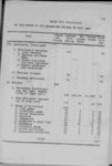
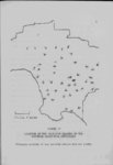
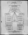
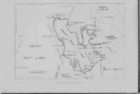
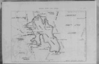
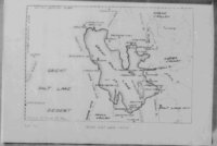
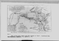
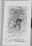
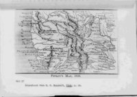
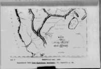
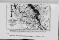
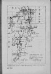
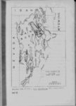
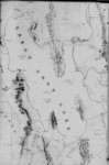
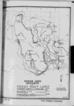
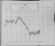
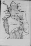
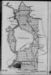
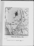
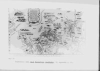
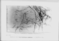
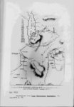
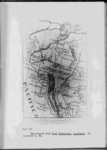
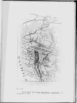
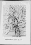
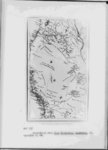
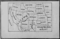
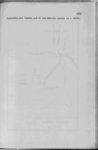
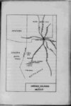
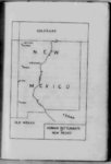
| Show 20 the Pacific Ocean The John Harris map of 1705 was probably first to show such a lake although Baron La Hontan had mentioned its existence4' Since this map showed California the as an island any knowledge Harris had must have come from a very dubious source With the entry of the Spaniards into the Utah country come the mythical Buenaventura river This ''river" with various adaptations and alterations found itself on many of the early maps — and some that were not so Escalante expedition upon reaching the Green river the San Buenaventura5 However they did not follow The early it named it far but struck westward toward Utah Lake where they campAs the expedition turned south from ed a few days in 1776 Utah Lake country the present day Sevier river was encounterThis stream was evidently mistaken for the "Buenaventura" ed it flowed in the same general direction Hence it was given a very prominent place on the maps prepar- A Heedless to ed by Mi era cartographer of the expedition (Green) because the "Buenaventura" followed an impossible course through the mountains from Green river valley to Sevier valley and into Sevier Lake After this earliest mention of the mythical impossible course it was placed in various locations say 4 See Map 5 XI 21 p "Eather Escalante’s Journal" Utah Historical Quart er-l- £ 1943 6 II 56 See Map III p 22 |